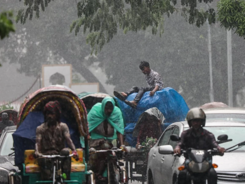
After several days of sweltering heat, the capital city was drenched on Tuesday, bringing relief to its residents. Showers began across Dhaka around 4 pm, accompanied by dark clouds, thunder, and gusty winds.
According to the Meteorological Department, the city received 1.8 millimetres of rainfall, with humidity levels recorded at 69 per cent. The north-western winds were blowing at a speed of 9 km/h.
The Bangladesh Weather Observation Team (BWOT) reported that a strong rain belt has once again become active across the country. Nearly 80 per cent of the nation could experience heavy to very heavy rainfall during this period.
The team stated that the rain belt is expected to remain active from the night of 30 September until 5 October, with peak activity anticipated between 2 and 4 October. Raining is likely to be most intense in the divisions of Rangpur, Rajshahi, Khulna, Mymensingh, and Barishal.
Dhaka will also experience the effects of the active rain belt, while moderate activity is expected in Sylhet and Chattogram.
BWOT further warned of potential landslides in the hilly areas of Cox’s Bazar, Rangamati, Bandarban, and Chattogram due to heavy rainfall.
Meanwhile, rivers in the Rangpur and Rajshahi divisions may rise, potentially causing temporary flooding in low-lying riverside areas. Localised waterlogging may also occur in certain low-lying urban and rural areas.
Synoptic data indicate that an extended low-pressure trough spans from eastern Uttar Pradesh, Bihar, and West Bengal to northern Bangladesh and Assam. The monsoon winds remain weak over Bangladesh but moderate over the northern Bay of Bengal.
Besides, a low-pressure area may develop over the northern Bay of Bengal and adjacent central Bay of Bengal within the next 48 hours.
With the rain belt now active, residents of Dhaka and other parts of the country can expect a brief respite from the recent spell of intense heat, though caution is advised in vulnerable areas prone to flooding and landslides.
 Prev Post :