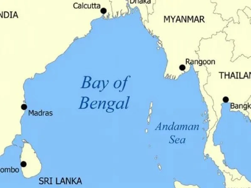
The low pressure formed over the Bay of Bengal has intensified into a well-marked low, prompting authorities to advise four seaports to hoist local cautionary signal No. 3.
In a special weather bulletin on Friday morning, the Bangladesh Meteorological Department (BMD) said the low over the northwest Bay and adjoining west-central Bay off Odisha-Andhra coasts of India intensified into a well-marked low at 6 am. It is now lying over the same area.
The BMD said the system may intensify further. Under its influence, a steep pressure gradient persists over the north Bay, causing squally weather that may affect the maritime ports, north Bay and coastal areas of Bangladesh.
Maritime ports of Chattogram, Cox’s Bazar, Mongla and Payra have been asked to keep hoisting local cautionary signal No. 3.
All fishing boats and trawlers over north Bay have been advised to remain close to the coast and proceed with caution until further notice.
Meanwhile, the Met Office’s morning bulletin said the axis of the monsoon trough runs through Uttar Pradesh, Madhya Pradesh, Odisha, the centre of the well-marked low and southern Bangladesh to Assam. The monsoon is less active over Bangladesh but active to strong over north Bay.
Light to moderate rain or thundershowers accompanied by temporary gusty wind is likely to occur at a few places in Rangpur, Khulna, Barishal, Chattogram and Sylhet divisions, and at one or two places in Rajshahi, Dhaka and Mymensingh divisions in 24 hours. Moderately heavy to heavy rainfall may occur at some places in Khulna, Barishal and Chattogram divisions.
Day temperature may fall slightly while night temperature is likely to remain nearly unchanged over the country.
In the 24 hours till 6 am Friday, the highest rainfall was recorded at Koyra in Khulna with 47 mm, followed by Khulna with 20 mm and Kutubdia with 19 mm.
The day’s highest temperature was recorded in Netrakona and Tangail at 36.5 degrees Celsius, while the lowest was in Bandarban at 23.8 degrees Celsius.
-1758454488.webp) Prev Post :
Prev Post :